Last updated on 2025-07-15


Program Overview
The Bachelor of Science in Geomatics at BCIT is designed to provide students with exceptional opportunities for career advancement and professional development. This program is particularly suited for graduates of Geomatics Engineering Technology who aspire to achieve professional accreditation as land surveyors or explore various fields within geomatics, including mapping and hydrography. The program emphasizes hands-on learning and real-world applications, ensuring that students are well-prepared for the demands of the industry.
Program Structure
The Bachelor of Science in Geomatics is a two-year, full-time program that runs from September to April each academic year. The program consists of:
- Four academic levels, each lasting 15 weeks.
- A total of 77 credits required for graduation.
- Combination of technical courses, business management courses, and liberal studies courses.
- Mandatory completion of a significant independent project in the final year.
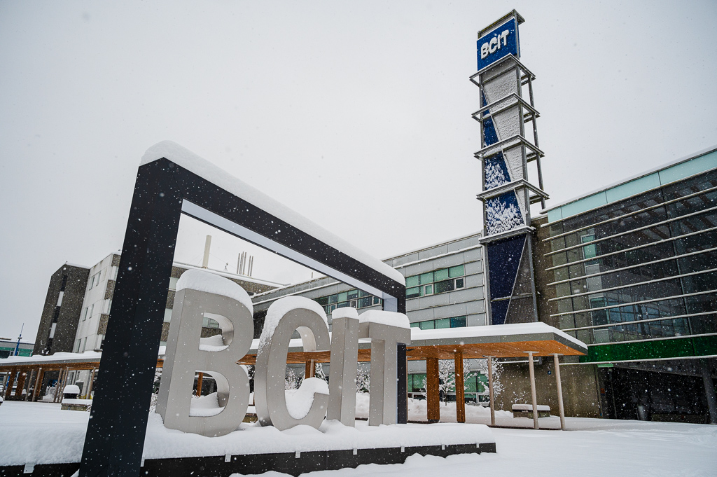
Students must also complete a minimum of six months of approved discipline-related work experience to graduate. The program is delivered in person on the Burnaby Campus, with some courses available through flexible learning options.
Featured Experiences
- Independent project work that allows students to apply their knowledge in real-world scenarios.
- Collaboration with industry sponsors and faculty advisors to enhance learning and networking opportunities.
- Hands-on labs and lectures that provide practical experience in geomatics techniques and technologies.
- Access to industry-standard software and tools for geospatial analysis and project management.
- Opportunities for co-op placements to gain valuable work experience while studying.
Career Options
- Land Surveyor: Responsible for measuring and mapping land boundaries, ensuring compliance with legal standards.
- Geomatics Engineer: Works on the design and implementation of geospatial data systems and technologies.
- Hydrographic Surveyor: Specializes in mapping underwater features and conducting surveys for marine navigation.
- GIS Analyst: Analyzes spatial data and creates maps to support decision-making in various sectors.
- Remote Sensing Specialist: Utilizes satellite and aerial imagery to gather data for environmental monitoring and land use planning.
DISCLAIMER: The information above is subject to change. For the latest updates, please contact LOA Portal's advisors.
Visit British Columbia Institute of Technology (BCIT) official website